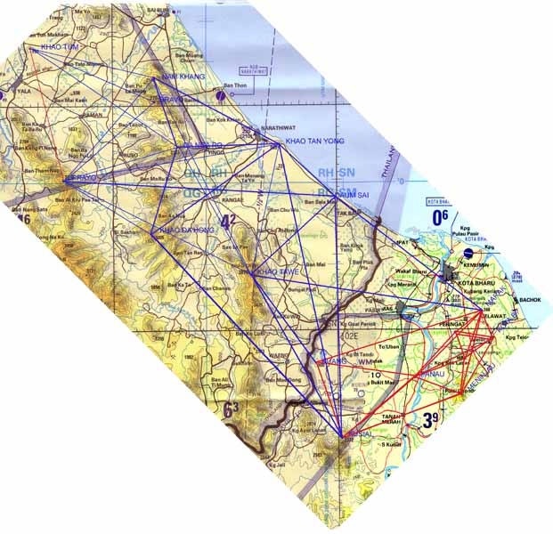
Thai Malay Geodetic Connection / 11_Recce_map

Previous Home Next

11_Recce_map

Title.... Thai Malay Survey 1967-1968

Map produced from TPC L-10B dated 1989 and TPC L-10A dated 1991
 © Crown copyright 1989 & 1991. Reproduced with the permission of the controller of her Majesty's Stationery Office.
A map showing the proven rays from the recce. The red lines in the south show the Malaysian baseline and extension which was to be linked to the Thai control also shown in red.

Compiled. Albert Field Dated.. July 2005

Back to thumbnail index

Back to main index